
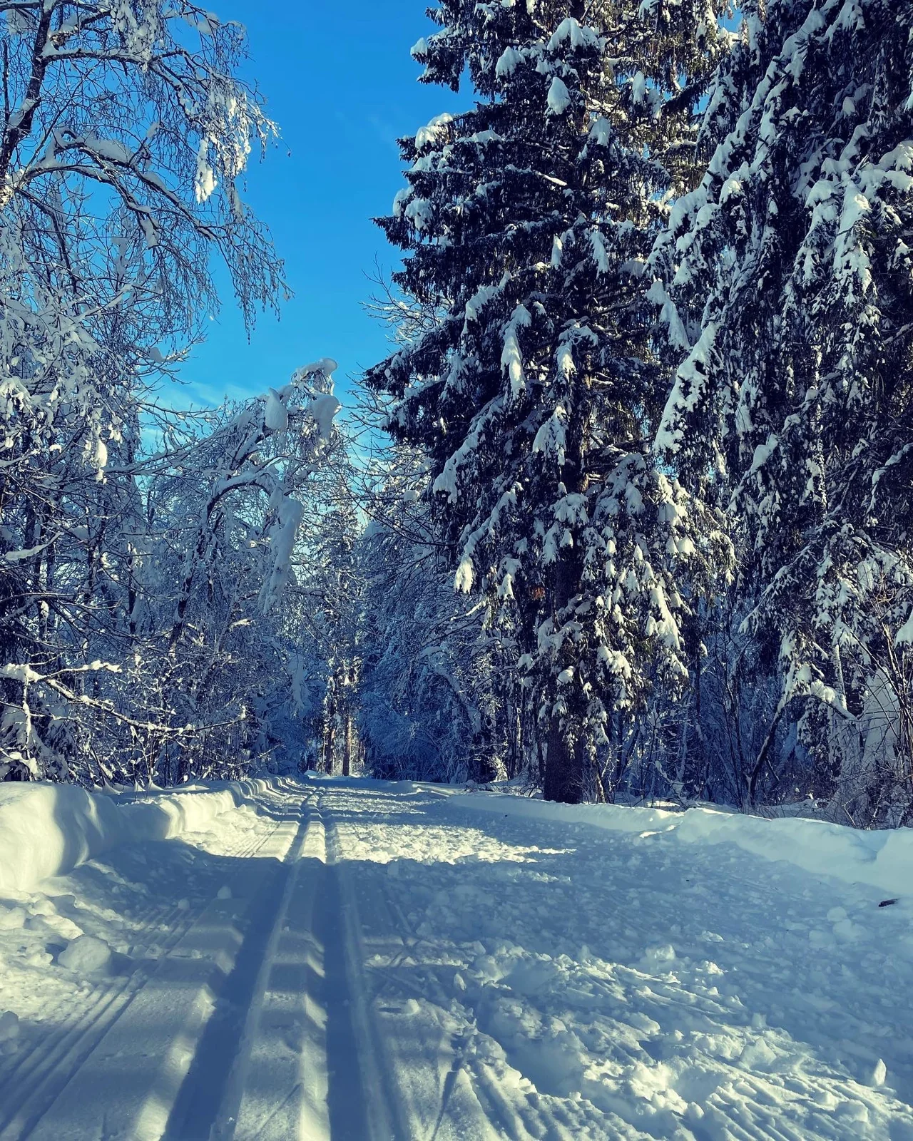
12 winter walks: from Kötschach-Mauthen, in the upper Gailtal and at Nassfeld.
Right on the doorstep
VorheggSunny hillside above Kötschach.
- Distance
- 4.7 km
- Duration
- 1:45 h*
- Elevation gain
- 384 m ascent
- Drive from Mauthen
- 0 min
- Difficulty
- EASY
A winter classic from Kötschach. The cleared, paved access road climbs steadily to the Sonnenhügel. Forest alternates with open ground; at the top, views open across the Gailtal to the Carnic Alps.
Start: Kötschach-Mauthen town hall · Altitude: 1,076 m
Route: Town hall - Kreuth/Kienze - Vorhegg
LONCIUM tip
Ideal in sunshine. *The official time excludes the return; allow more for the full walk.
ÖdenhütteSnowy meadows. Distant views.
- Distance
- 3.8 km
- Duration
- 2:00 h*
- Elevation gain
- 340 m ascent
- Drive from Mauthen
- 0 min
- Difficulty
- EASY
The cleared access road leads from the centre through wintry scenery to Ödenhütte. Farms, meadows and woodland line the route; the destination offers lovely views over Kötschach-Mauthen and the Gailtal.
Start: Kötschach centre · Altitude: 1,050 m
Route: Kötschach - farms - Ödenhütte
LONCIUM tip
Straightforward and good for a winter morning. Wear sturdy shoes; microspikes help on ice.
Sittmoos - NischlwitzReißkofel in view.
- Distance
- 7.5 km
- Duration
- 2:30 h*
- Elevation gain
- 361 m ascent
- Drive from Mauthen
- 0 min
- Difficulty
- EASY
From the valley floor, a cleared minor road goes via Wetzmann to Sittmoos and Nischlwitz. Woodland, small farms and open spaces offer views of Reißkofel and the Gailtal.
Start: Gail bridge, Kötschach-Mauthen · Altitude: 986 m
Route: Gail bridge - Wetzmann - Sittmoos - Nischlwitz
LONCIUM tip
A lovely alternative to Vorhegg. *The official time excludes the return.
Plon - BuchachQuiet farms above the valley.
- Distance
- 5.4 km
- Duration
- 2:00 h*
- Elevation gain
- 377 m ascent
- Drive from Mauthen
- 0 min
- Difficulty
- EASY
A cleared winter walk from Kötschach via Mandorf to the farms of Plon and Buchach. Higher up the landscape opens out, quiet and wide, with views over Kötschach-Mauthen and the surrounding mountains.
Start: Kötschach-Mauthen town hall · Altitude: 1,070 m
Route: Town hall - Mandorf - Plon - Buchach
LONCIUM tip
A sunny outing without technical difficulties. *Allow extra time for the return.
Lanz - DobraViews towards Plöcken.
- Distance
- 5.0 km
- Duration
- 1:45 h*
- Elevation gain
- 396 m ascent
- Drive from Mauthen
- 0 min
- Difficulty
- ENERGETIC
A cleared minor road climbs steadily from Kötschach to Lanz and on towards Dobra. The sunny side offers repeated open views over the village, Gailtal and Plöcken area.
Start: Kötschach-Mauthen town hall · Altitude: 1,058 m
Route: Town hall - Gailtal cathedral - Lanz - Dobra
LONCIUM tip
Technically easy but more energetic due to the continuous climb. *The official time excludes the return.
Upper Gailtal
Dellach - St. Daniel suspension bridgeWinter by the Gail.
- Distance
- 5.1 km
- Duration
- 1:20 h
- Elevation gain
- 17 m ascent
- Drive from Mauthen
- Approx. 15 min
- Difficulty
- EASY
An almost flat winter loop along the Gail. The highlight is the suspension bridge at St. Daniel; return along the opposite bank. A good choice for winter scenery without much ascent.
Start: Dellach sports ground · Altitude: 667 m
Route: Dellach - Gail cycle path - St. Daniel - suspension bridge - south of the Gail - Dellach
LONCIUM tip
Perfect for families and relaxed days. Surface conditions after snowfall depend on clearing.
Nölbling loopWide and quiet in the upper Gailtal.
- Distance
- 6.0 km
- Duration
- 1:25 h
- Elevation gain
- 21 m ascent
- Drive from Mauthen
- Approx. 15 min
- Difficulty
- EASY
An easy loop on field paths and along the Gail. Follow the shady side towards Nölbling and back, surrounded by the Gailtal and Carnic Alps.
Start: Dellach sports ground · Altitude: 661 m
Route: Dellach - Gail - Nölbling - Nölblinger footbridge - return
LONCIUM tip
Parts follow the cross-country ski trail: please respect skiers.
Kirchbach - Stranig - TressdorfVillages, the Gail and winter sun.
- Distance
- 7.8 km
- Duration
- 2:00 h
- Elevation gain
- 87 m ascent
- Drive from Mauthen
- Approx. 20 min
- Difficulty
- MODERATE
A longer but technically easy winter loop through the Kirchbach area. Riverbanks, small villages and open valley scenery make a relaxed half-day outing.
Start: Kirchbach · Altitude: 646 m
Route: Kirchbach - Gail - Stranig - Oberdöbernitzen - Treßdorf - Kirchbach
LONCIUM tip
A good outing for a longer walk without steep terrain.
Tressdorf - Staudachberg - HochwartFrom the valley into winter sunshine.
- Distance
- 6.3 km
- Duration
- 2:40 h*
- Elevation gain
- 616 m ascent
- Drive from Mauthen
- Approx. 20 min
- Difficulty
- MODERATE +
This energetic winter walk climbs in many bends through woodland from Treßdorf to Staudachberg and the Hochwart plateau. Views across the Gailtal become ever more impressive as you gain height.
Start: Treßdorf · Altitude: 1,223 m
Route: Treßdorf - access track - Staudachberg - Hochwart
LONCIUM tip
The big ascent in this selection. *The official time is ascent only; allow extra for the return.
Winter day trips
Pressegger See circular walkIce. Reeds. Stillness.
- Distance
- 5.9 km
- Duration
- 1:40 h
- Elevation gain
- 101 m ascent
- Drive from Mauthen
- Approx. 40 min
- Difficulty
- EASY
A peaceful winter loop through the distinctive reed beds and lakeside scenery of Pressegger See. Little ascent, wide views and a very different winter atmosphere from the mountain valleys.
Start: Pressegger See · Altitude: 623 m
Route: Winter circular walk around Pressegger See
LONCIUM tip
Lovely combined with Hermagor. Step onto ice only where officially permitted.
Tressdorfer Alm - Watschiger AlmWinter walking at 1,600 metres.
- Distance
- 4.0 km
- Duration
- 1:10 h
- Elevation gain
- 118 m ascent
- Drive from Mauthen
- Approx. 45 min + cable car
- Difficulty
- EASY
High-altitude winter: take the Millennium Express to Tressdorfer Alm. An easy winter trail connects two alpine pastures on the Carnic main ridge, with ski-area atmosphere and broad mountain views.
Start: Tressdorfer Alm / Millennium Express · Altitude: 1,628 m
Route: Tressdorfer Alm - winter trail - Watschiger Alm
LONCIUM tip
Ideal for non-skiers who want to experience Nassfeld. Check lift operating hours first.
Sonnenalpe - Tressdorfer AlmA short panoramic loop at Nassfeld.
- Distance
- 4.3 km
- Duration
- 1:20 h
- Elevation gain
- 118 m ascent
- Drive from Mauthen
- Approx. 50 min
- Difficulty
- MODERATE
A short, varied loop in the heart of Nassfeld. The altitude brings a real winter feel, with modest climbing between Sonnenalpe and Tressdorfer Alm.
Start: Sonnenalpe Nassfeld · Altitude: 1,591 m
Route: Sonnenalpe - Tressdorfer Alm - circular route in the ski area
LONCIUM tip
For a winter day out with lunch at Nassfeld. Respect the current route through the working ski area.
Winter trails depend on snow and weather. Check clearing, ice and trail status. For times marked *, add the return journey.