
Explore / Hiking
The mountains are calling.
Valley pleasures. Open alpine pastures. Big summit days. Find your hike around LONCIUM.
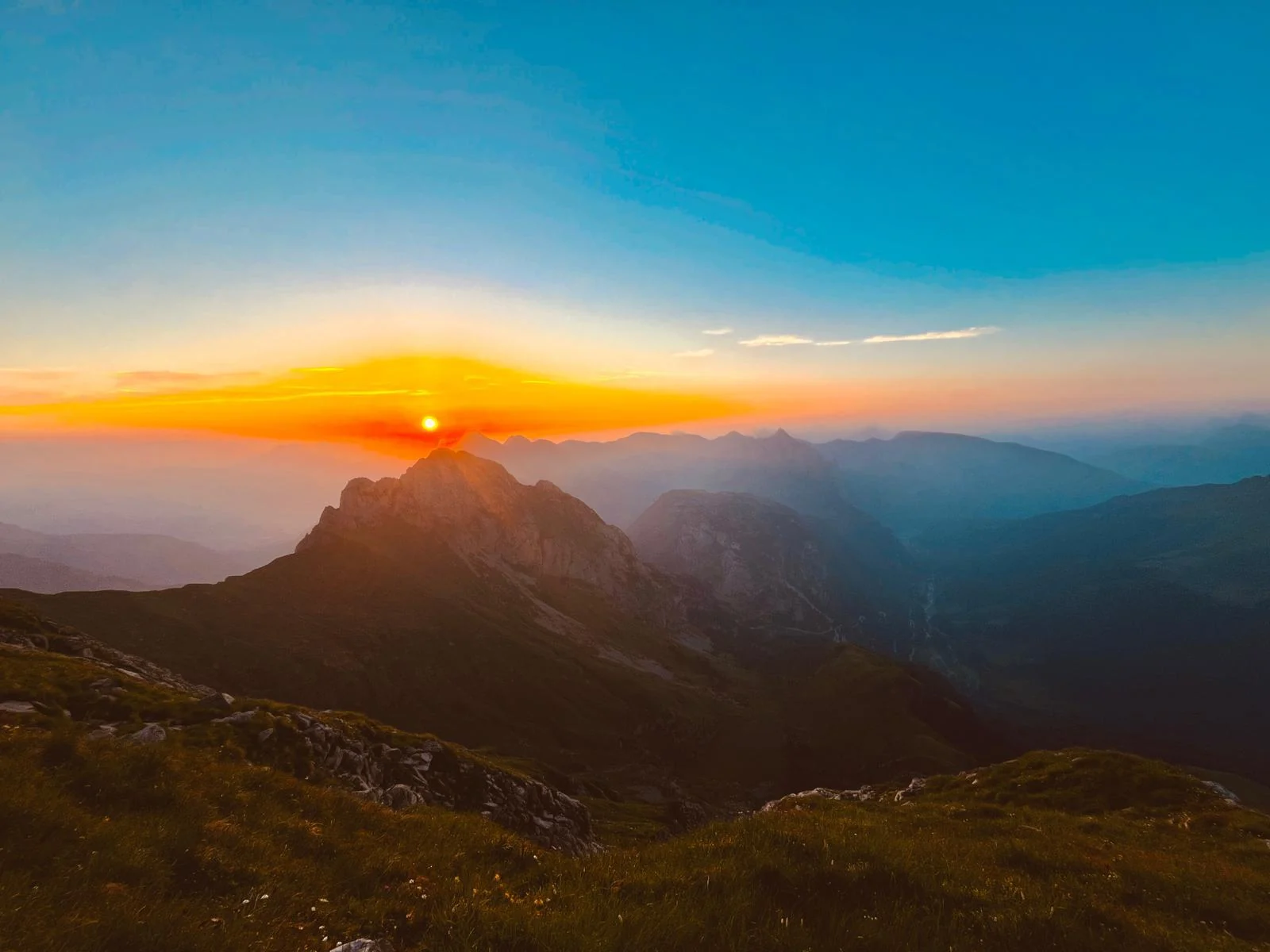 KÖTSCHACH · PLÖCKEN · LESACHTAL
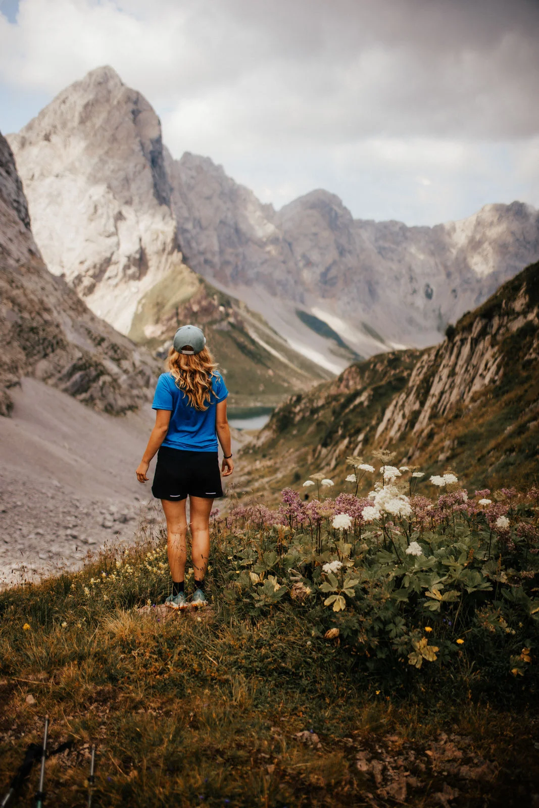
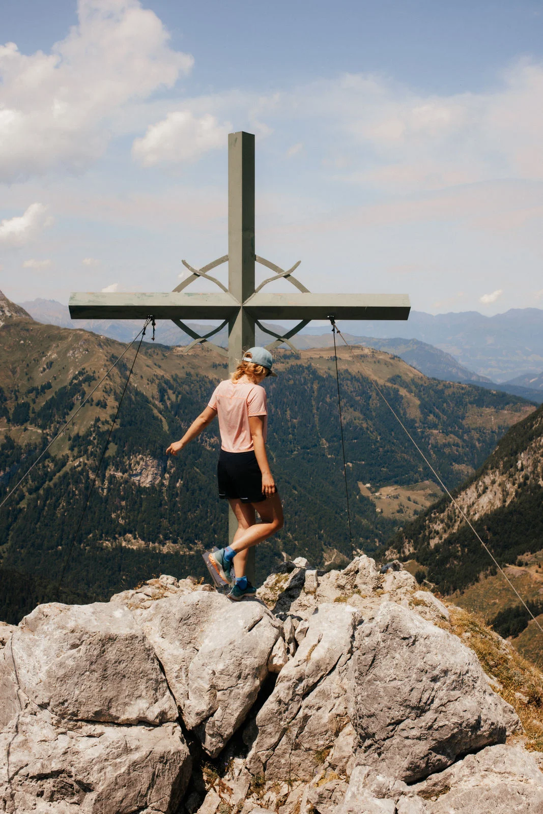
15 routes around Kötschach-Mauthen, Plöcken Pass and Lesachtal. From relaxed valley walks to big summit days.
Easy · Valley strolls
Kienze - ZojeRelaxed above the valley.
- Distance
- 7.7 km
- Duration
- 2:20 h
- Elevation gain
- 257 m ascent
- Drive from Mauthen
- 0 min
- Difficulty
- EASY
A relaxed, family-friendly loop above Kötschach-Mauthen. Small hamlets, forest paths and lovely valley views alternate. Just right for settling in or a gentle half-day walk.
Start: Kötschach-Mauthen town hall · Altitude: 950 m
Route: Kötschach - Kienze - Zoje - Einsiedlwald - Aquarena - Kötschach
LONCIUM tip
Start in the village. Ideal for scenery without a big mountain day.
Dobra - LanzMeadows. Forest. Village views.
- Distance
- 7.6 km
- Duration
- 2:45 h
- Elevation gain
- 363 m ascent
- Drive from Mauthen
- 0 min
- Difficulty
- EASY
A lovely loop on Kötschach’s sunny side. Quiet paths, meadows and woodland climb towards Lanz before returning to the valley.
Start: Kötschach-Mauthen · Altitude: 1,069 m
Route: Kötschach - Dobra - Lanz - Lammerbach - Kötschach
LONCIUM tip
A pleasant morning outing: the right balance of exercise and views rather than high-alpine drama.
Einsiedelwald & Pittersberg ruinsForest paths with history.
- Distance
- 5.3 km
- Duration
- 4:00 h
- Elevation gain
- 195 m ascent
- Drive from Mauthen
- Approx. 3 min
- Difficulty
- EASY
A quiet walk through Einsiedlwald with a historic destination. Pittersberg ruins stand above the Gailtal, combining woodland, history and views.
Start: Kötschach-Mauthen / towards Laas · Altitude: 907 m
Route: Kötschach - Einsiedlwald - Pittersberg ruins - Laas / return
LONCIUM tip
A good choice on cloudy days or when the high mountains are hidden.
Tuffbad loopShort. Lovely. Lesachtal.
- Distance
- 3.0 km
- Duration
- 0:55 h
- Elevation gain
- 133 m ascent
- Drive from Mauthen
- Approx. 35 min
- Difficulty
- EASY
A short walk with grand mountain scenery. A small loop from Tuffbad on alpine and forest tracks through the quiet Lesachtal landscape.
Start: Tuffbad, Lesachtal · Altitude: 1,390 m
Route: Tuffbad car park - alpine track - forest path above Tuffbad - return
LONCIUM tip
Perfect with a drive through Lesachtal, or when you have just under an hour for a walk.
LackenalmAlpine pastures above Lesachtal.
- Distance
- 6.9 km
- Duration
- 3:30 h
- Elevation gain
- 584 m ascent
- Drive from Mauthen
- Approx. 30 min
- Difficulty
- EASY +
A particularly scenic alpine pasture walk with broad views of the Carnic Alps. From Lesachtal, woodland and meadows lead to panoramic Lackenalm.
Start: St. Lorenzen / Lesachtal · Altitude: 1,613 m
Route: St. Lorenzen - Bödnerbauer - Lackenalm - Tuffbad
LONCIUM tip
Technically easy but with a fair climb. Our “Easy Plus” – sturdy shoes still required.
Moderate · Alpine pastures & Mountains
Mauthner AlmOur local mountain feeling.
- Distance
- 8.4 km
- Duration
- 4:00 h
- Elevation gain
- 770 m ascent
- Drive from Mauthen
- Approx. 10 min
- Difficulty
- MODERATE
One of the finest routes directly above Mauthen. Through woodland to Enzianhütte, then onto gentle Mauthner Alm. At the top, wonderful views open towards the Carnic Alps and Lienz Dolomites.
Start: Lamprechtbauer · Altitude: 1,782 m
Route: Lamprechtbauer - Enzianhütte - Mauthner Alm - Enzianhütte - Lamprechtbauer
LONCIUM tip
A LONCIUM classic. Check seasonal refreshment stops and trail status before leaving.
Kleiner PalMountain + History.
- Distance
- 9.5 km
- Duration
- 3:30 h
- Elevation gain
- 760 m ascent
- Drive from Mauthen
- Approx. 15 min
- Difficulty
- MODERATE
An exceptional loop on the Carnic main ridge. Among rocks and old military positions, the path climbs to Kleiner Pal. Impressive scenery, history and broad views.
Start: Plöckenhaus · Altitude: 1,867 m
Route: Plöckenhaus - Grünsee - Freikofelscharte - Kleiner Pal - open-air museum - return
LONCIUM tip
Take a head torch to explore the old tunnels. Trails can be slippery after rain.
WolayerseeA natural jewel.
- Distance
- 15.5 km
- Duration
- 6:00 h
- Elevation gain
- 928 m ascent
- Drive from Mauthen
- Approx. 30 min
- Difficulty
- MODERATE
One of the region’s must-do hikes. Through Wolayertal, past pastures and waterfalls, to turquoise Wolayersee below the Carnic Alps’ mighty rock walls.
Start: Hubertuskapelle / Nostra · Altitude: 1,971 m
Route: Hubertuskapelle - Untere Wolayeralm - Obere Wolayeralm - Wolayerseehütte - return
LONCIUM tip
Start early and allow time by the lake. Check Wolayerseehütte opening and access to Hubertuskapelle beforehand.
Obergaileralm - EnderberghütteQuiet Lesachtal.
- Distance
- Approx. 8.8 km*
- Duration
- Approx. 4:00 h*
- Elevation gain
- Approx. 520 m ascent*
- Drive from Mauthen
- Approx. 30 min
- Difficulty
- MODERATE
A quiet alpine pasture walk deep in Obergailertal. Forest, water, meadows and distinctive mountains make this an authentic Lesachtal experience away from the crowds.
Start: Obergail / Mühlenstüberl · Altitude: 1,637 m
Route: Obergail - Obergailertal - Obergaileralm - Enderberghütte - return the same way
LONCIUM tip
Distance and duration are rounded for the return walk. One way is 4.4 km.
SamalmWide views over Lesachtal.
- Distance
- 9.9 km
- Duration
- 5:00 h
- Elevation gain
- 834 m ascent
- Drive from Mauthen
- Approx. 45 min
- Difficulty
- MODERATE
A beautiful loop across mountain meadows and open woodland to the Samalm plateau. Summit views stretch from the Lienz Dolomites across the Carnic main ridge.
Start: Maria Luggau · Altitude: 1,990 m
Route: Maria Luggau - Trattenbach - Guggenberg - Samalm - Klammwiese - Maria Luggau
LONCIUM tip
Check current trail status and any closures before setting off.
Alpine · Summits & Big days
Polinik 2.332 mThe mountain above Kötschach.
- Distance
- 10.2 km
- Duration
- 5:30 h
- Elevation gain
- 1.170 m ascent
- Drive from Mauthen
- Approx. 15 min
- Difficulty
- ALPINE
A distinctive summit above Kötschach-Mauthen. A fine mountain path leads to Spielbodentörl, then the route becomes loose and rocky. The summit rewards you with a tremendous Gailtal view.
Start: Plöckenhaus · Altitude: 2,332 m
Route: Plöckenhaus - Grünsee - Spielbodenalm - Spielbodentörl - Polinik - return
LONCIUM tip
Sure-footedness and a head for heights are essential from Spielbodentörl. Only in stable mountain weather.
Rauchkofel 2.460 mWolayersee from above.
- Distance
- 12.9 km
- Duration
- 7:00 h
- Elevation gain
- 1.464 m ascent
- Drive from Mauthen
- Approx. 20 min
- Difficulty
- ALPINE
A long, impressive mountain day in the heart of the Carnic Alps. Via Valentintörl into rocky terrain towards Rauchkofel; a detour to Wolayersee is worthwhile on the descent.
Start: Untere Valentinalm · Altitude: 2,460 m
Route: Untere Valentinalm - Valentintörl - Rauchkofel - Wolayerseehütte - Valentintörl - return
LONCIUM tip
Sure-footedness is essential. A long day with plenty of ascent: take enough water and allow reserves.
Mittagskofel 2.251 mLesachtal from the very top.
- Distance
- 18.9 km
- Duration
- 7:30 h
- Elevation gain
- 1.106 m ascent
- Drive from Mauthen
- Approx. 30 min
- Difficulty
- ALPINE
A long mountain walk to one of Lesachtal’s finest viewpoints. Forest tracks lead to marked mountain paths and alpine meadows on the way to the summit.
Start: Obergail / Mühlenstüberl · Altitude: 2,251 m
Route: Obergail - Bödenalm - Fleckenalm - Mittagskofel - return, optionally via Steineckenalm
LONCIUM tip
Not technically extreme, but a full mountain day for your fitness. Wear sturdy shoes and carry enough drinks.
Kollinkofel 2.691 mWild. Steep. Exposed.
- Distance
- 10.2 km
- Duration
- 6:30 h
- Elevation gain
- 1.450 m ascent
- Drive from Mauthen
- Approx. 20 min
- Difficulty
- ALPINE +
A demanding alpine undertaking on a mighty Carnic summit. Steep gullies, rocky scrambles, protected sections and exposed terrain require experience and concentration.
Start: Plöckenpass · Altitude: 2,691 m
Route: Plöcken Pass - Collinetta area - protected gullies - Kollinkofel - return the same way
LONCIUM tip
Experienced mountaineers only. Climbing up to grade II and protected sections; unsuitable for novices.
Plöcken Pass - ZollnerseeThe wild eastern high route.
- Distance
- 15.9 km
- Duration
- 7:30 h
- Elevation gain
- 1.400 m ascent
- Drive from Mauthen
- Approx. 15 min
- Difficulty
- ALPINE
A long, wild section of the Carnic High Trail. From the historic Plöcken area along the main ridge to broad alpine pastures around Zollnersee.
Start: Plöckenhaus / Plöckenpassstraße · Altitude: 2,167 m
Route: Plöcken Pass - Carnic High Trail eastwards - Zollner area - Zollnerseehütte
LONCIUM tip
Not a standard loop: arrange return transport or an overnight stay beforehand.
Route data are for guidance. Check weather, trail status, access and hut opening before setting off. Alpine tours require experience, sure-footedness and suitable equipment.